

Bay of Bengal sees well-marked depression, thunderstorms forecast in two divisions

Bangla Press
Published: 22 February 2026, 01:50 AM
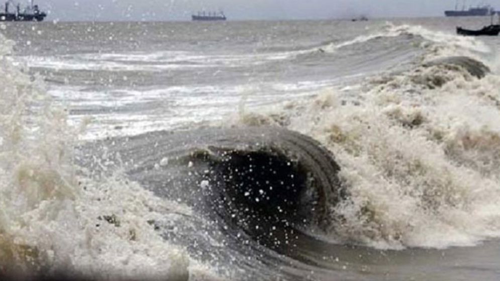
Bangla Press Desk: A low-pressure area over the Indian Ocean and the southeast Bay of Bengal has intensified into a well-marked depression, currently situated over the southeast Bay of Bengal and adjacent areas.
It is expected to move in a north-western direction, said a Met office bulletin on Sunday (22 February).According to a forecast signed by meteorologist of the Bangladesh Meteorological Department (BMD) Md Shaheenul Islam, the depression may further intensify as it progresses west-northwest.
Meanwhile, the northern extension of the sub-continental high-pressure belt is currently located over Bihar, India, and nearby regions.
The weather office predicts that from 9:00am on Monday (23 February) for the following 24 hours, the country is likely to experience partly cloudy sky at times but generally dry conditions.On Tuesday (24 February), from 9:00am for the next 24 hours, isolated rain or thunderstorms may occur in some areas of the Khulna Division, while the rest of the country will see generally dry weather with intermittent cloud cover.
Similarly, on Wednesday (25 February), isolated rain or thunderstorms may affect some areas in the Khulna and Barisal divisions during the 24-hour period beginning at 9:00am.
Night and day temperatures may remain nearly unchanged over the country.Source: daily Sun
BP/SP.
[Bangla Press is a global platform for free thought. It provides impartial news, analysis, and commentary for independent-minded individuals. Our goal is to bring about positive change, which is more important today than ever before.]
YOU MAY ALSO LIKE
.jpg)
.jpg)

Bangladesh
5 arrested in connection with the leaking of Youth Development exam questions
7 hours ago
by Bangla Press

.jpg)
Sangeet Academy